DAS unveils new tool for real-time bushfire tracking

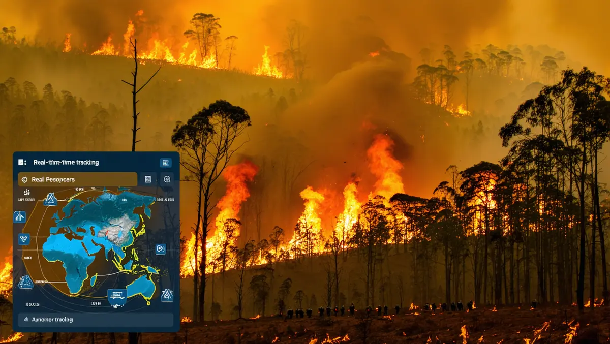
DAS has unveiled a new tool aimed at delivering near real-time bushfire monitoring, facilitating the location and validation of impacted customers, properties, and homeowners.
The new product addresses challenges encountered with predictive models in ongoing fires, exemplified by the recent Los Angeles fires. It is specifically designed to assist DAS's clientele, which includes government bodies, banks, and insurers, in identifying and automating the recognition of buildings and customers affected by fires. This service provides prompt insights at the customer, property, and building level in the aftermath of a fire, updating in a matter of minutes or hours rather than days.
The solution provides organisations with the ability to accurately ascertain not just the location or spread of the fire, but also which customers have been affected, down to the specific number of buildings or structures involved.
Anthony Willmott, CEO of DAS, commented, "This new capability is the first step towards a system where technology will allow those affected by a disaster to simply confirm their situation rather than report it. This takes a huge burden off those affected."
He further stated, "Knowing where a bushfire is interesting. Knowing which of your customers are impacted is at the heart of being a great insurer, lender or government body. All of our clients are committed to building safer regional communities and they can now see the impact in real time."
The DAS solution utilises authoritative intelligence from Geoscience Australia bushfire boundary data, which provides updates every 15 minutes regarding burnt area boundaries and the size of the affected area. This is complemented by data from state emergency services and government agencies across various states.
The focus is on offering rapid and cost-effective assessment and validation for rural communities, enabling DAS customers to expedite informed decision-making, claims processing, and responses to fire incidents. It aims to improve the service speed provided to affected property and policyholders.
"It will also allow financial institutions and those offering support to the fire affected to more accurately target their assistance and triage those greatest in need, whether that's government led or empowering insurers to rapidly pinpoint the number of buildings or structures damaged or lost, part of efforts to make climate event data more accessible at a portfolio level," Willmott added.
With advance notification, institutions can more efficiently prepare support and offer services and relief at an accelerated pace. DAS's customers typically have geolocated their customers at a portfolio level for optimal results.
This latest development builds on DAS's existing collaborations with entities such as Insurance Facilitators, IAG, and fire authorities like the NSW Rural Fire Service and the Country Fire Service across five states, as well as the Department of Fire and Emergency Services. In the context of fire services, DAS provides data on cropping and harvesting that enables a better understanding of fire spread dynamics based on the condition of specific fields.
DAS has been involved in climate and fire risk analysis since 2017, offering producers free access to its platform for baseline property assessments, which includes data on their property's risk profile. Advances in geospatial technology facilitate DAS's data utility in multiple policy agendas including risk mitigation, food security, land use mapping, and trade. DAS's data models incorporate more than 109,000 ground-truth locations, with over 13,000 locations from 2024 alone.

